Cañón del Atuel
Page FocusRegion: San Rafael
Landscape Type: Deep gorge + five linked reservoirs
Core Experience: RP173 scenic drive, rafting, zip-line
Best For: Road-trippers, adventurers and photographers
Argentina · Mendoza Province · San Rafael
Atuel Canyon · Hydraulic Canyon · Andean Precordillera
📍 RP173, Cañón del Atuel, San Rafael, Mendoza, Argentina
📞 Visitor info: San Rafael Tourism
🏛️ Natural Wonder · Canyon & Reservoirs
00
Mendoza Province is famous for its Precordillera canyons and reservoirs. When planning a trip, the three easiest to confuse are Cañón del Atuel, Potrerillos (Cañón del Río Mendoza) near Mendoza city, and the Uspallata valley on the way to Aconcagua. They differ in landscape and experience.
| Destination | Region | Landscape Type | Core Experience | Best For |
|---|---|---|---|---|
| Cañón del Atuel | San Rafael | Deep gorge + five linked reservoirs | RP173 scenic drive, rafting, zip-line | Road-trippers, adventurers and photographers |
| Potrerillos Canyon | Near Mendoza city | Single reservoir (Embalse Potrerillos) + gorge | Half-day rafting, climbing, lakeside leisure | Half-day visitors from Mendoza city |
| Uspallata Valley | Andean pass, west Mendoza | High-altitude valley with Inca sites | Scenic drive, stopover to Aconcagua | Cross-border drivers and high-mountain travellers |
Region: San Rafael
Landscape Type: Deep gorge + five linked reservoirs
Core Experience: RP173 scenic drive, rafting, zip-line
Best For: Road-trippers, adventurers and photographers
Region: Near Mendoza city
Landscape Type: Single reservoir (Embalse Potrerillos) + gorge
Core Experience: Half-day rafting, climbing, lakeside leisure
Best For: Half-day visitors from Mendoza city
Region: Andean pass, west Mendoza
Landscape Type: High-altitude valley with Inca sites
Core Experience: Scenic drive, stopover to Aconcagua
Best For: Cross-border drivers and high-mountain travellers
01
Cañón del Atuel is one of Mendoza Province’s most stunning natural and engineered landscapes, set in the Precordillera of the Andes south of San Rafael. The Atuel River plunges down from the snowy Andes and has carved a deep canyon through arid, red rock — then been chained by a series of reservoirs that turn turquoise lakes and ochre cliffs into a single, unforgettable panorama. How the Canyon Was Born The Atuel River rises in the Andes of south-west Mendoza and runs about 185 km. For millions of years it has incised along geological faults, cutting ancient sedimentary and volcanic rock into a profound gorge. At its narrowest, only a sliver of sky shows; the walls display layered hues of red, orange and grey. Taming the Water: the Legend of Five Reservoirs From the mid-20th century, Mendoza began building five cascading reservoirs (embalses) — Agua del Toro, Los Reyunos, Valle Grande, Tierras Blancas and El Nihuil — to generate hydropower and irrigate the land. The river was cut section by section, and in the middle of the desert canyon appeared five turquoise lakes, making this one of Argentina’s most remarkable hydraulic landscapes and the source of power and life for the San Rafael oasis. Mendoza's "Water Bank" Today the Atuel basin supplies a significant share of Mendoza’s electricity and irrigation water. The reservoir chain is both a lifeline for energy and agriculture and the stage for rafting, zip-lines and lakeside leisure — a rare symbiosis of natural force and human engineering.
The name Atuel comes from the Huarpe (Allentiac) language of the region’s original inhabitants, evoking water that shoots down like an arrow. Between the canyon and its reservoirs, stories of this land still live on.
The Huarpe were among the oldest peoples of Mendoza, living along rivers and lakes and naming nature with simple, poetic words. In Huarpe, Atuel is read as water that bursts forth like an arrow — a perfect description of the Atuel River’s rush through the gorge. The San Rafael oasis of today flourishes precisely because of this river.
Although Huarpe culture was severely disrupted during the colonial period, their place-names and reverence for water survive in Mendoza’s geographic memory. As you walk beside a reservoir, remember: this turquoise water was once a sacred, rushing stream in Indigenous eyes.
Unlike many natural wonders, the modern legend of Cañón del Atuel is human. From the 1940s, Mendoza’s engineers and workers dammed the river, turning the wild Atuel into a string of gentle lakes. Older residents of San Rafael still recall that when the reservoirs were completed, the barren canyon first mirrored a turquoise reflection, and the oasis lit up with hydroelectric power.
This history of taming the water makes Cañón del Atuel a vivid lesson in how humans reshape — and coexist with — nature: a reminder that here, half the beauty is from the earth, and half from human hands.
In the oral tradition of Mendoza’s countryside, the canyon and reservoirs are not entirely silent. One story says that when the wind brushes the reservoir surface and a low hum echoes through the rocks, it is the spirit of the water reminding people to respect this river of life. Elders also warn against entering the gorge rapids after heavy rain, for the swollen river holds formidable power.
These simple tales, continuous with the Huarpe reverence for water, form the soft yet clear human undertone of Cañón del Atuel.
If Cañón del Atuel is seen only as a driving destination, its longer formation story disappears. This timeline reconnects geology, water and human activity on one line.
Ancient sedimentary and volcanic rock accumulated in the Precordillera, forming the bedrock later cut by the river.
The Andes raised the regional relief and drainage gradient, and the Atuel River incised along the faults.
In its rhythm of dry-season trickles and rainy-season floods, the Atuel cut the rock into today’s deep ochre gorge.
For power and irrigation, five reservoirs were built — Agua del Toro, Los Reyunos, Valle Grande, Tierras Blancas and El Nihuil — shaping the linked turquoise landscape.
The canyon is a hub for rafting, zip-lines and scenic drives, while protected as a sensitive ecosystem sustaining Mendoza’s water and power.
02
Cañón del Atuel is a double masterpiece of natural force and engineering wisdom. Its unique landforms are valuable for both appreciation and research, and tell the story of how humans harness Andean water.
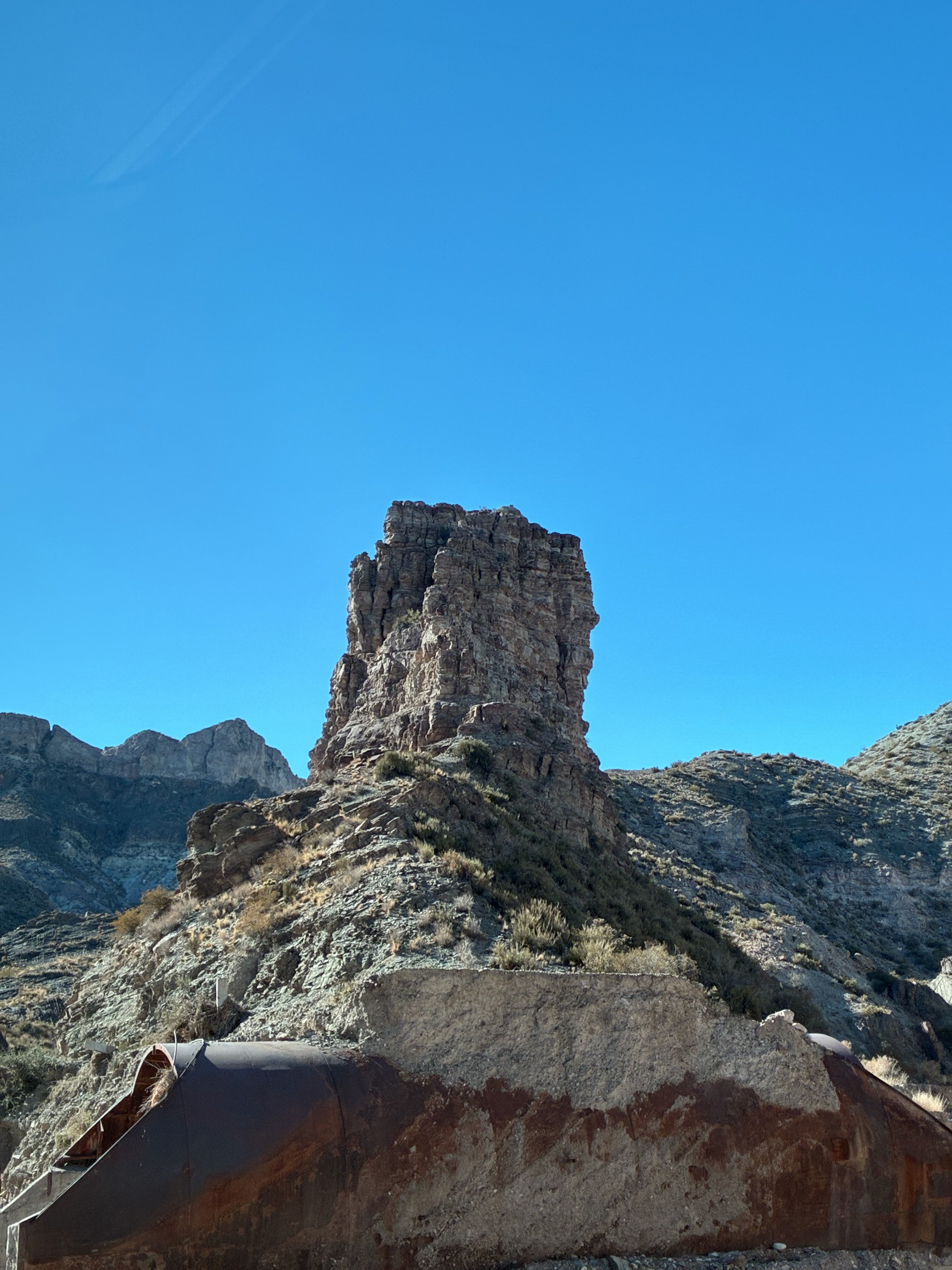
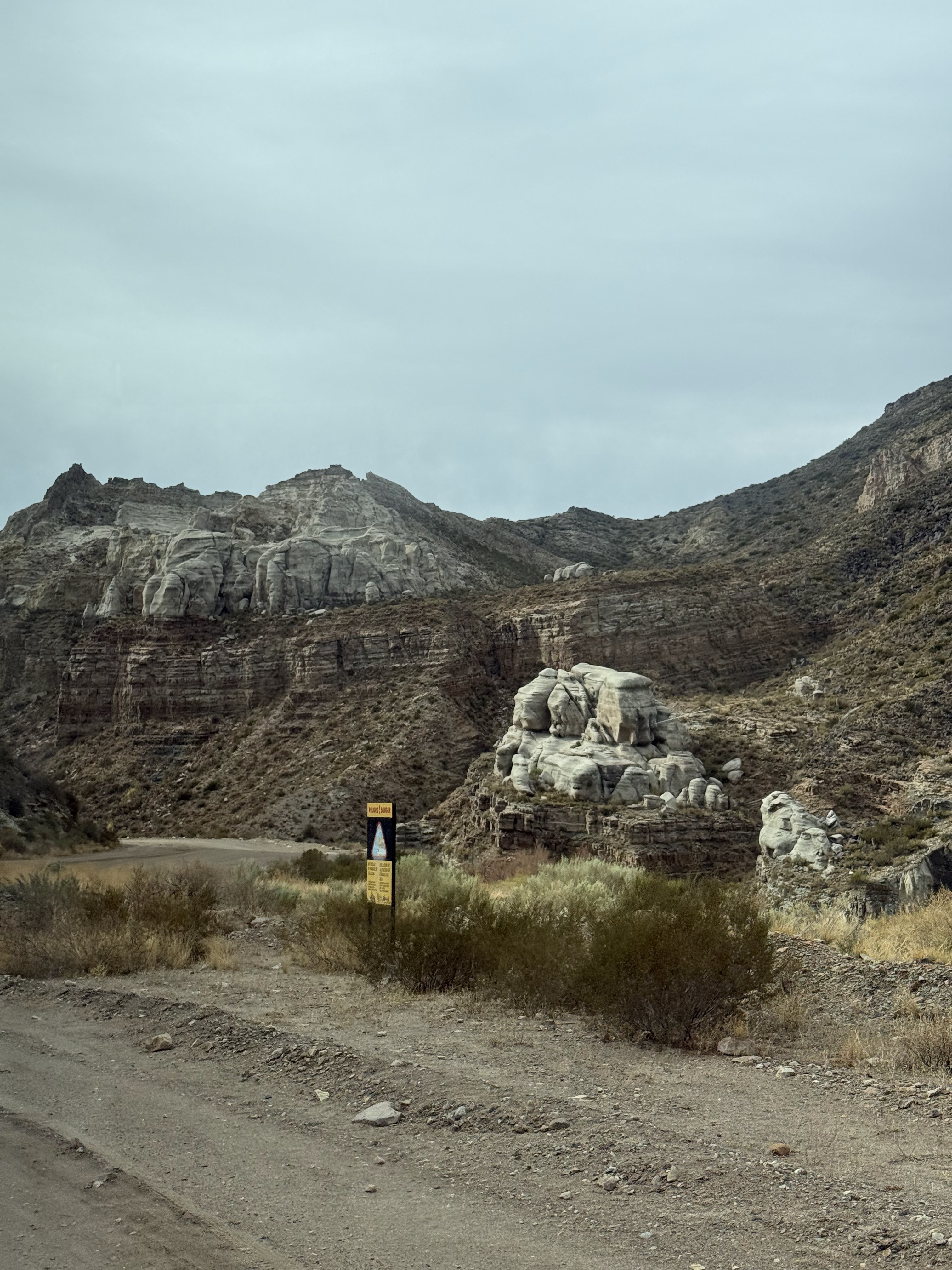
The Atuel River incises along faults in the Andean Precordillera, forming a classic deep gorge (garganta). Dozens of kilometres long with towering walls, it narrows in places to barely allow two vehicles. The riverbed surges in the rainy season and trickles in the dry — relentless incision over millions of years shaped today’s deep cleft. The canyon walls are mostly ancient sedimentary and volcanic rock, recording the long history of Andean orogeny. Erosion is especially strong where rock is softer, producing step-like cliffs and potholes.
The cliffs are an open geological textbook: red, orange and grey bands from minerals deposited in different eras — iron oxide gives the red, calcium carbonate the pale stripes. Under the low-angle morning and evening sun, the colours are most intense, contrasting sharply with the turquoise lake — a favourite subject for photographers.
The Atuel has limited annual runoff with strong seasonal swings. To regulate flow, generate power and irrigate, Mendoza built five cascading reservoirs, storing flood-season water for both flood control and energy. The reservoir chain tamed the wild river into something gentle and controllable, creating a unique hydraulic canyon: bare rock next to blue water, wilderness next to oasis.
03
Cañón del Atuel blends canyon sightseeing, water sports and Precordillera scenery. The experiences below are loved by adventurers, photographers and families alike.
The Atuel is one of Mendoza’s most famous rafting rivers. Trips from San Rafael run through rapids and calm stretches beneath towering canyon walls — a double feast of adrenaline and scenery. Kayakers can also enjoy the gentler reservoir sections amid lake and mountain views.
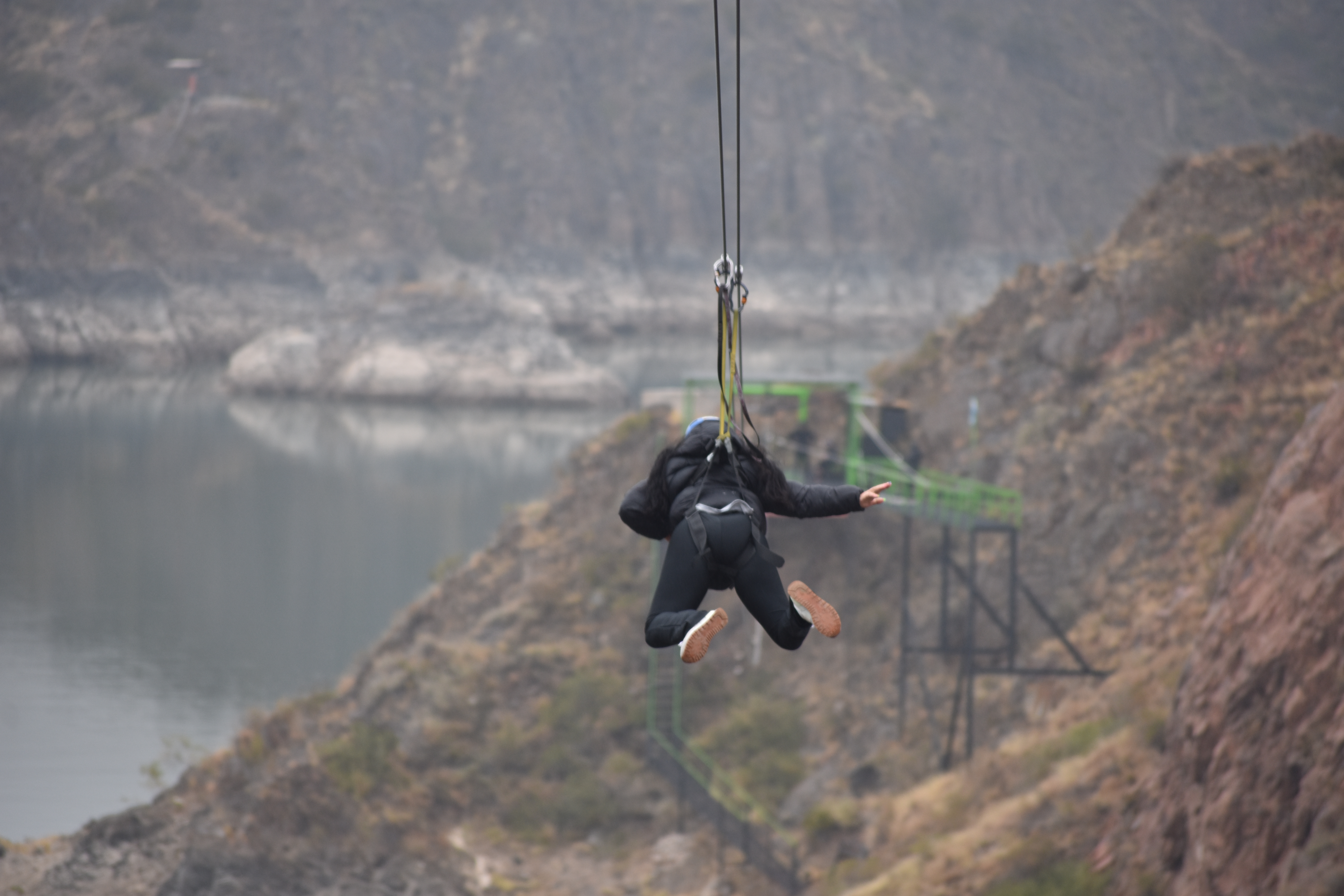
Canopy (zip-line) and high-rope courses near the canyon let visitors skim above the ochre cliffs and blue lakes from a bird’s-eye view. A popular choice for families and teams, with safety gear provided by professional operators.
Driving the RP173 is the classic way to experience the canyon. The road winds along the cliff edge with several miradores (viewpoints) to stop and gaze over reservoirs and the rock labyrinth — a paradise for photographers and sunset lovers.
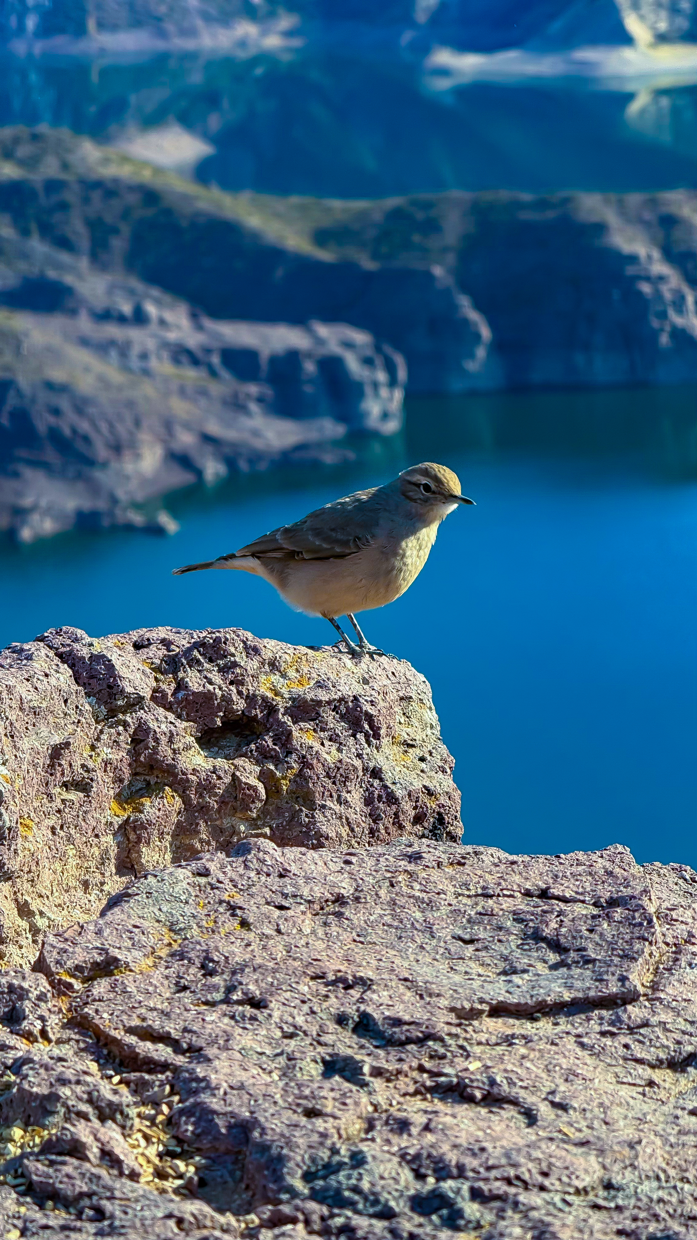
Several hiking and mountain-bike trails of varying difficulty surround the canyon. Whether capturing the texture of red rock, waiting for a condor to glide, or watching morning mist lift off the reservoir, the canyon rewards slow travel.
04
Reading Notes
This page focuses on Cañón del Atuel south of San Rafael — a landscape written jointly by natural incision and 20th-century hydraulic engineering. We summarise geological context, practical transport and safety notes to help you plan with clear expectations.
Cañón del Atuel is both a natural heritage and a sensitive ecosystem that sustains Mendoza’s water and power. As an independent non-profit educational guide, we advocate visiting this land in the most responsible way.
05
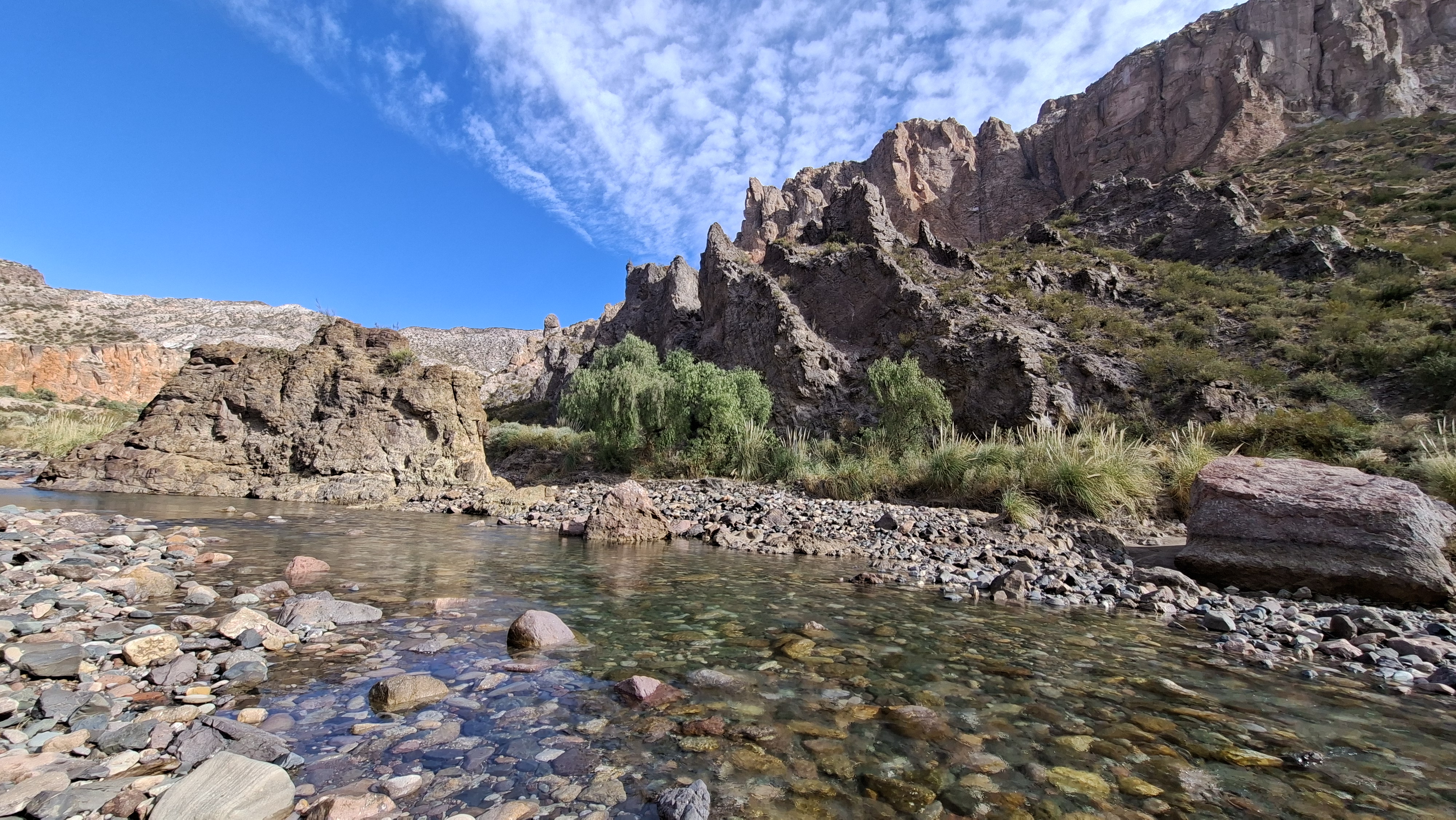
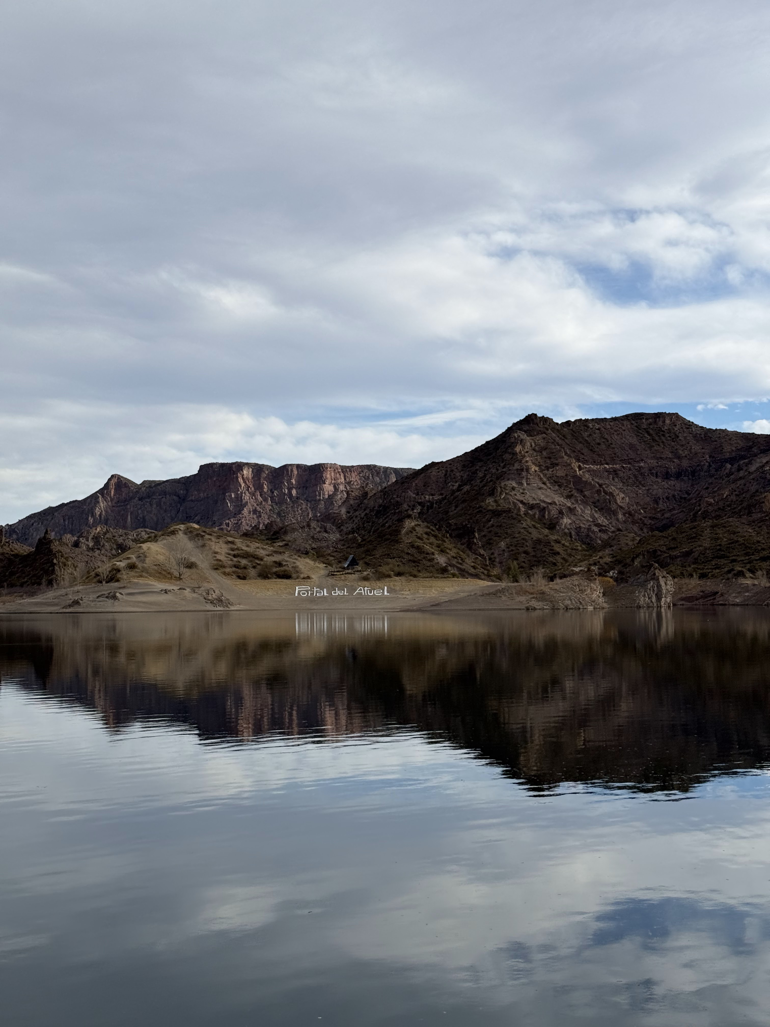
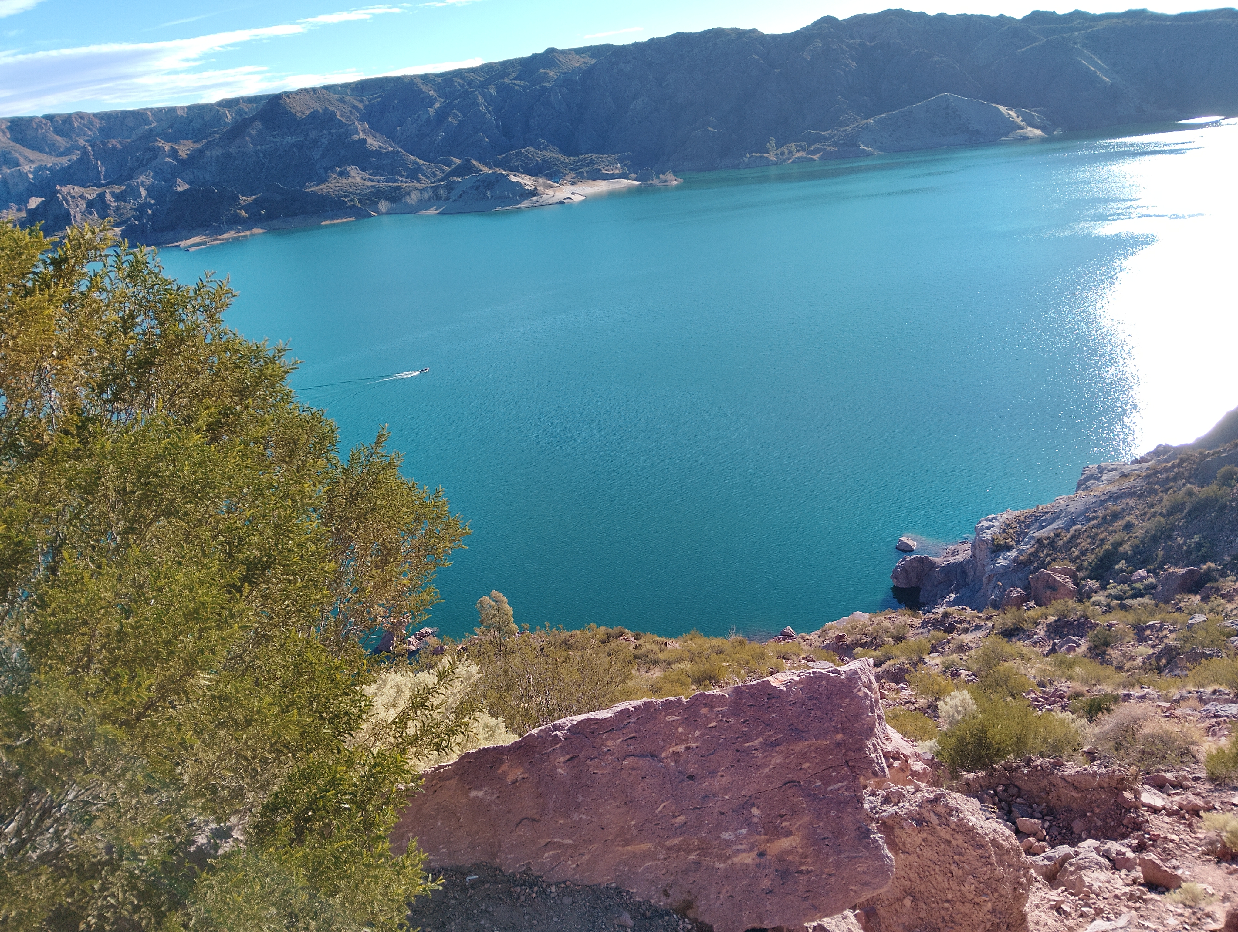
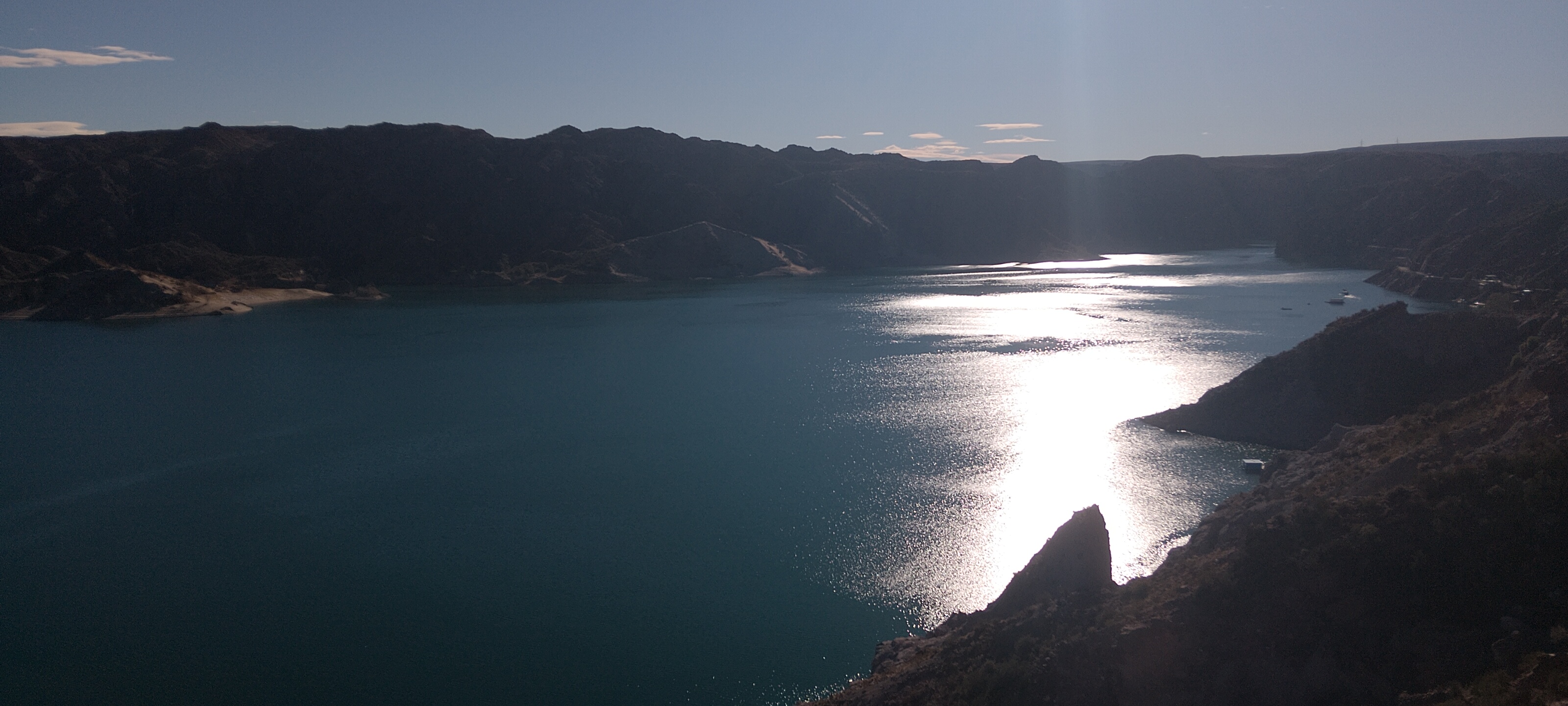
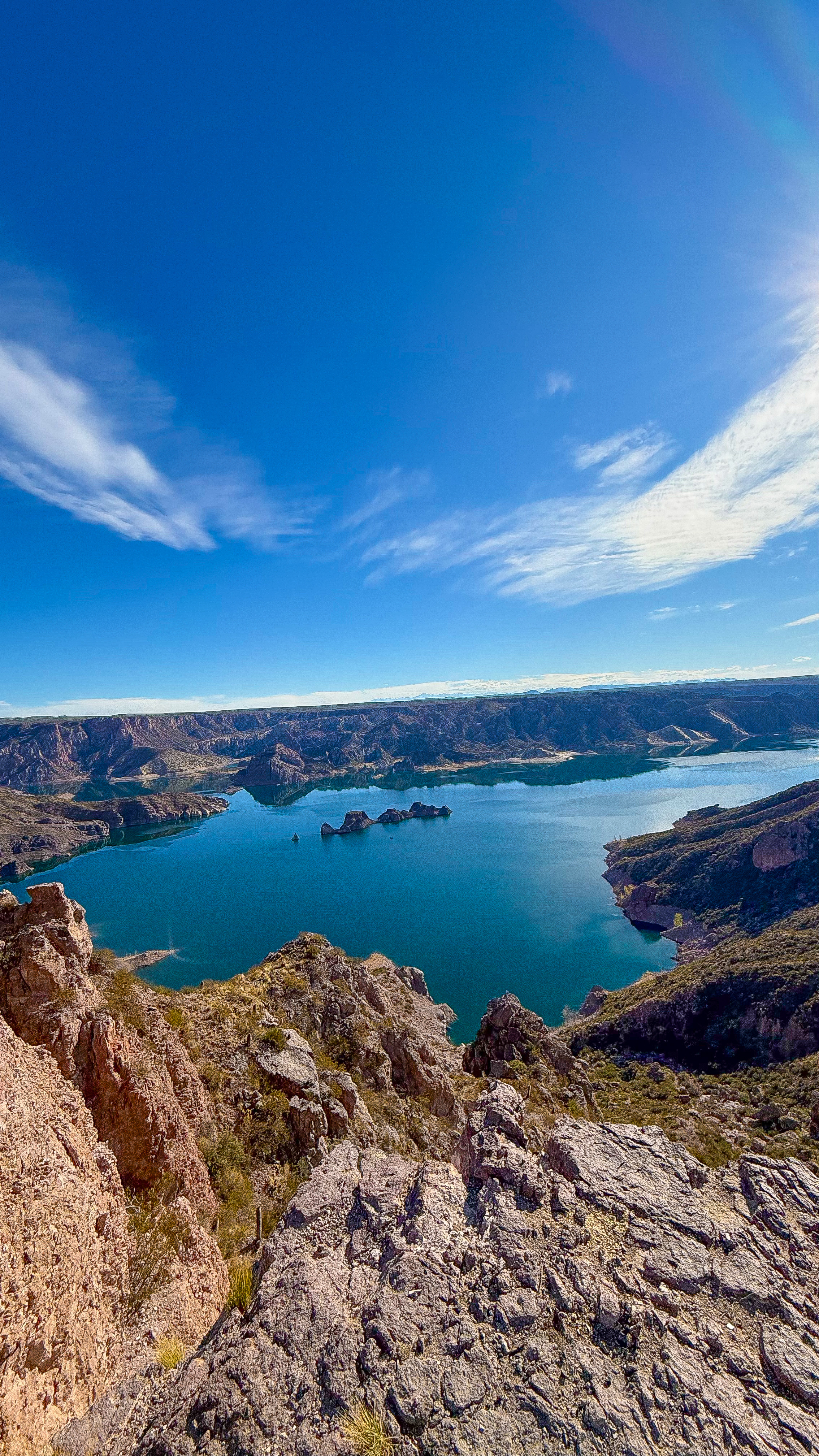
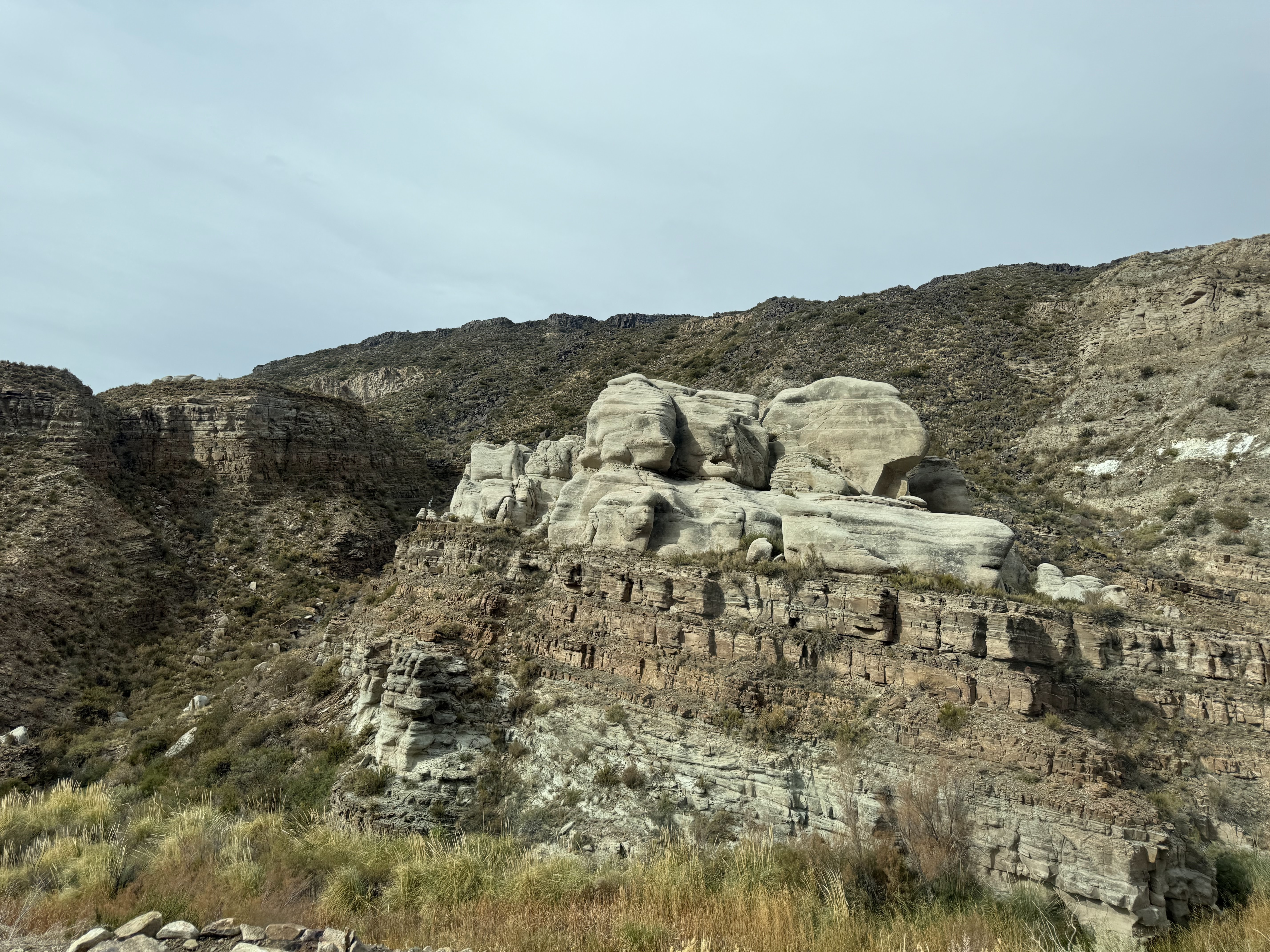
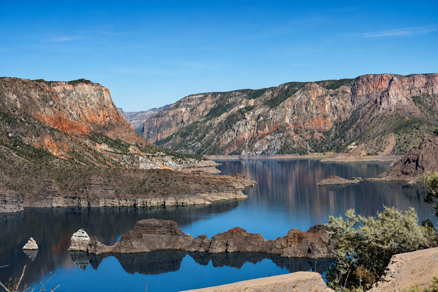
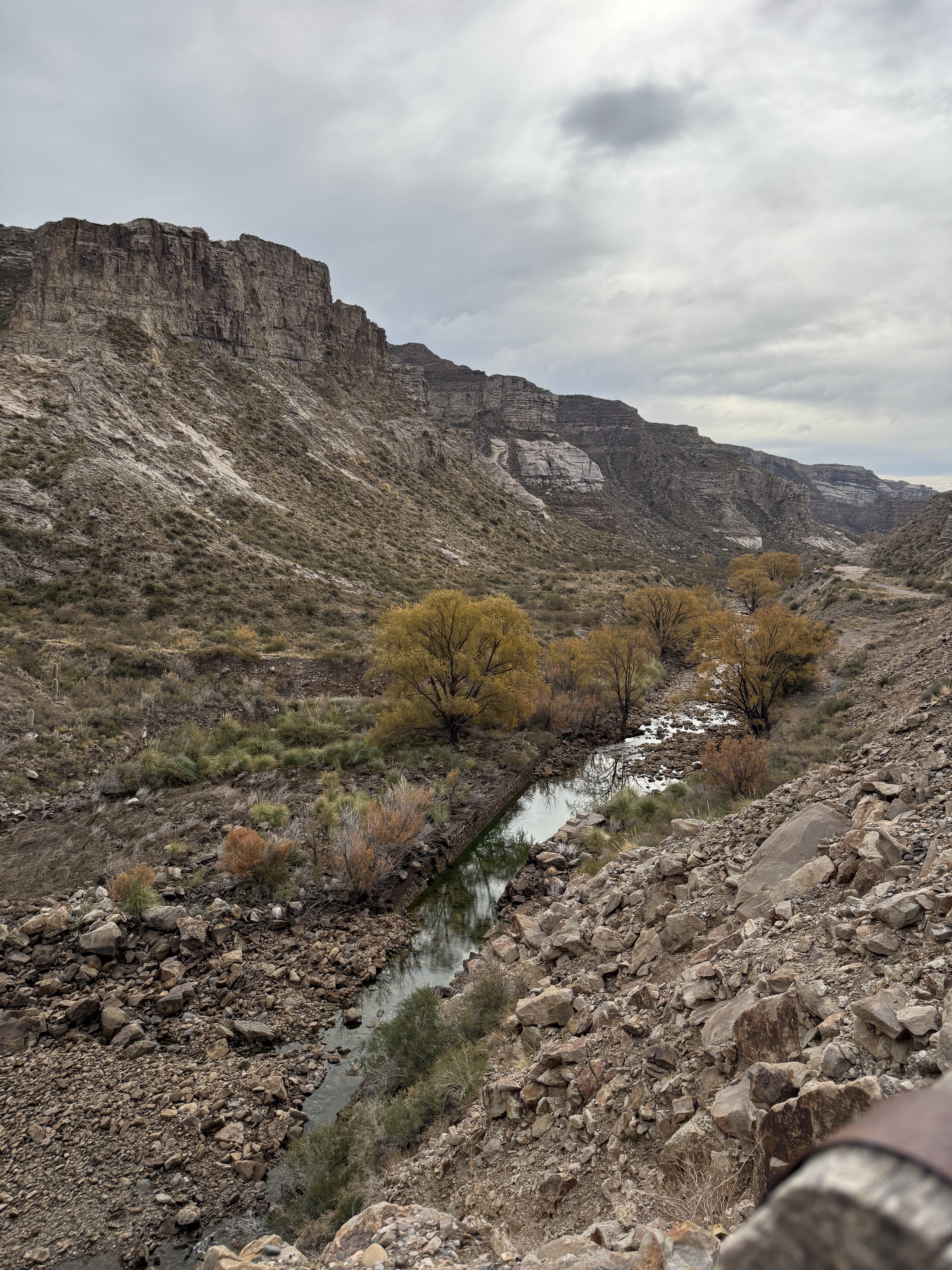
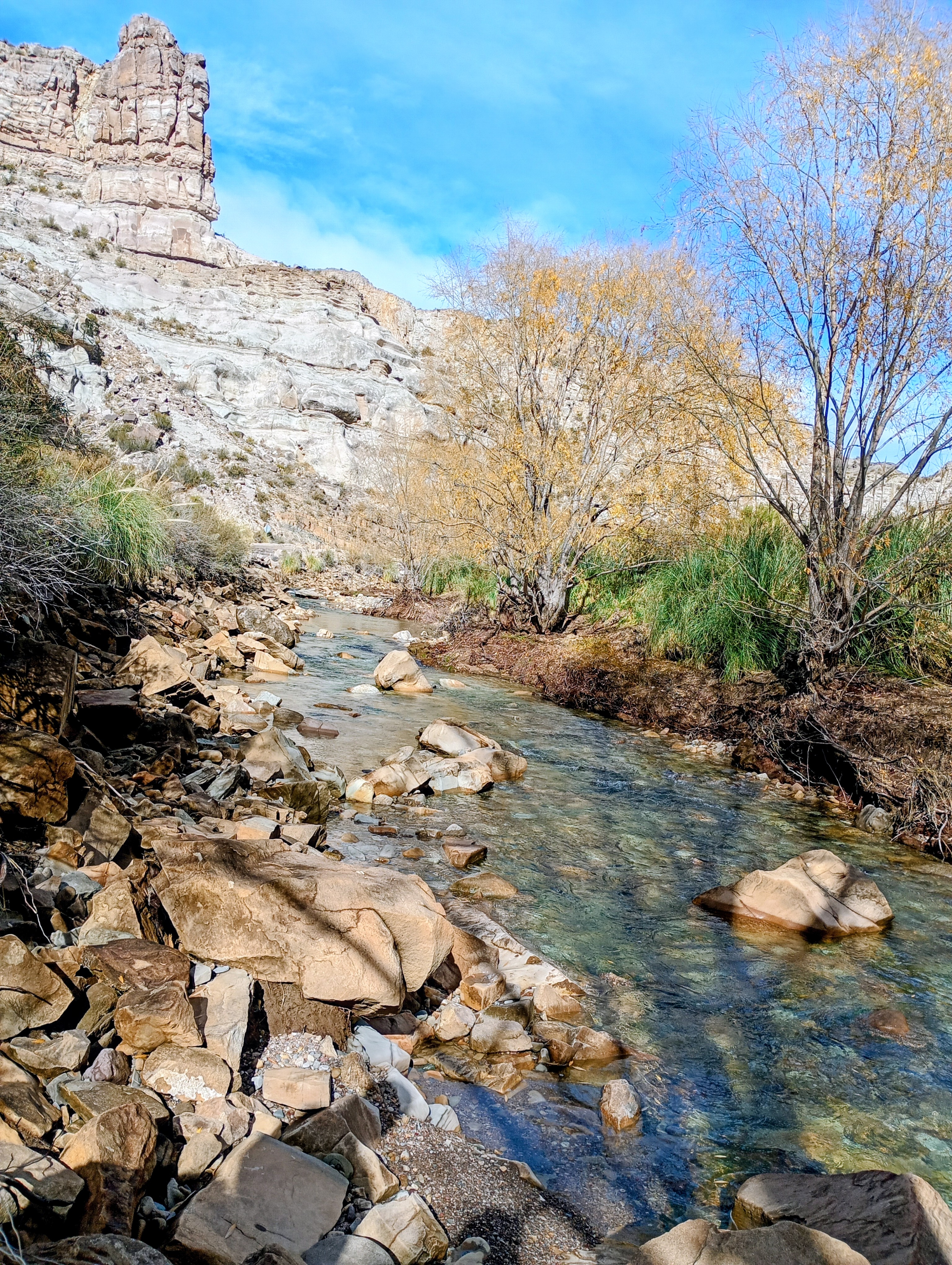
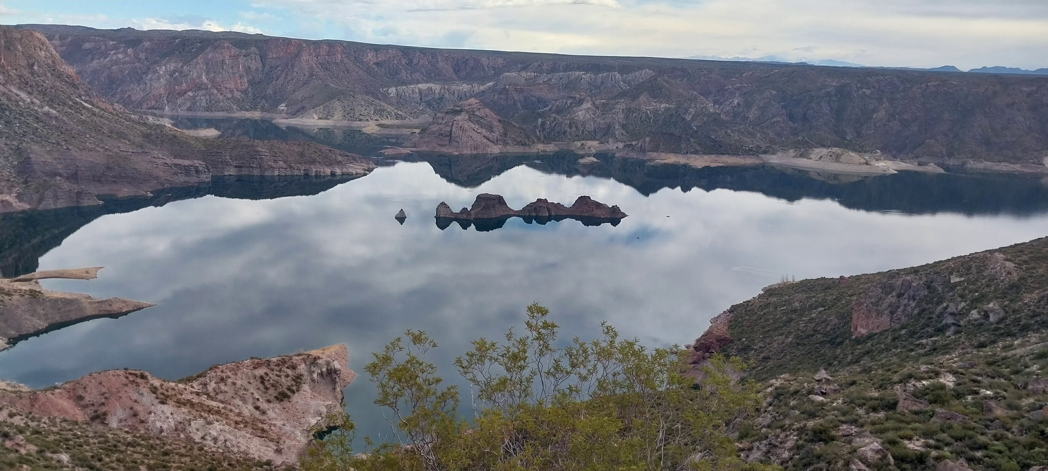
What moves visitors most about Cañón del Atuel is the contrast between nature’s hardness and engineerings softness. On one side, ochre bare rock cut over millions of years; on the other, a river-dammed, jade-like turquoise reservoir. Two images that capture the canyon’s dual character.
Bare Rock Canyon
Turquoise Reservoir
06
Cañón del Atuel can be visited year-round. A half-day along RP173 or a full day combining reservoirs and San Rafael is recommended. The following helps you plan with ease.
07
08
09
Voices from Cañón del Atuel: Real Google Maps Testimonies
El Cañón del Atuel es impresionante. La ruta RP173 pegada al acantilado es de película, y los embalses turquesa en medio del desierto rojo no tienen comparación. Llegamos en auto desde San Rafael y cada mirador valía la pena.
Una de las excursiones más bellas de Mendoza. Hicimos rafting en el Atuel y luego recorrimos los embalses. La combinación de aventura y paisaje es perfecta. Llevar mucha agua y protector solar, el sol pega fuerte.
Canyon magnifico e poco turistico. Il contrasto tra roccia ocra e laghi turchesa è stupendo. Consiglio di guidare con calma la RP173 e fermarsi in tutti i miradores. Indimenticabile!
阿图埃尔峡谷太震撼了!赭红色岩壁和碧蓝水库的对比像油画一样。RP173 公路自驾很刺激,沿途观景台很多。建议清晨出发,光线和温度都最舒服。
Absolutely stunning drive through the canyon with the reservoirs winding between red cliffs. We only had a half day so we missed El Laberinto. Next time we will stay longer. Fuel up in San Rafael first.
Cada vez que vuelvo a San Rafael, el Atuel me sorprende. Los cinco embalses en cascata son una obra de la naturaleza y el hombre. Ideal para familias, rafting y fotos. Imperdible en Mendoza.
After exploring Cañón del Atuel, you can easily visit the following nearby destinations:
One of the downstream Atuel reservoirs, with open, calm water — popular for sailing, water-skiing and lakeside camping, about an hour from San Rafael.
San Rafael is a key Mendoza wine region, famous for Malbec and Torrontés. After the canyon, taste and dine at nearby wineries.
Another famous canyon and reservoir (Embalse Potrerillos) near Mendoza city, also known for rafting and climbing — a great contrast to Cañón del Atuel.
10
Learn More About Cañón del Atuel
Cañón del Atuel is about 40 km south of San Rafael, Mendoza Province, reached via RP173. The easiest way is to drive or take a bus from Mendoza city (~240 km) to San Rafael, then a private transfer or day tour to the canyon.
Sightseeing along RP173 with the main viewpoints takes about 4–5 hours; with rafting, zip-line or San Rafael wineries, plan a full day. The canyon road is open all day; water activities generally run 09:00–18:00.
Very much so. Viewpoints and reservoir areas are easy and safe for families and photography; rafting and zip-line provide professional safety gear but choose difficulty by the child’s age. Supervise children and keep clear of swollen water.
The five Atuel reservoirs (Agua del Toro, Los Reyunos, Valle Grande, Tierras Blancas, El Nihuil) are artificial hydraulic works built from the mid-20th century for power and irrigation. They reshaped the wild river into today’s linked turquoise lakes — a joint work of nature and engineering.
RP173 is a scenic road hugging the canyon wall with many curves and some cliff-edge sections. Control your speed, avoid night driving, fill the tank before entering, and watch for rockfall and sudden strong winds in the rainy season. Download offline maps as mobile signal is weak in the canyon.
11
RP173, Cañón del Atuel San Rafael, Mendoza Province Argentina
View on Google Maps12
Hover over (or tap) the markers on the map below to explore the key areas of Cañón del Atuel.
13
A half-day captures the essence of Cañón del Atuel; a full day allows deeper exploration. Use the timeline below as a reference.
Fill the tank, pack water and sunscreen, and head to the canyon on RP173 — morning light is best for photos.
Stop at the first viewpoint to overlook the turquoise lake woven with red cliffs — the hydraulic painting.
Get out and hike among the red pillars, feeling the sculpting force of wind and water.
Picnic by the reservoir, or join a rafting trip for white-water thrills in the gorge.
Continue downstream to the open lake; enjoy a peaceful afternoon — rent a boat or watch birds.
Drive back along RP173 as the setting sun gilds the ochre canyon — a perfect end to the day.

